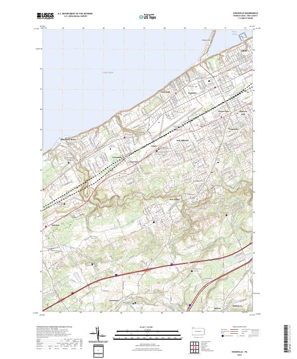
2023 Map of Swanville
USGS Topo · Published 2023About this map
Lake Erie and Presque Isle Bay define the northern edge of this suburban landscape, where the city of Erie transitions into residential and institutional developments. The land is marked by several significant burial grounds, from the large Gate of Heaven Cem near Vernondale to the smaller, older plots like Old Saint Francis Xavier Cem in the south. The area's character is shaped by a mix of educational and transport hubs, including the Fortis Institute and the Erie International Airport/Tom Ridge Field.
Find a feature on this map
87 named features on this map. Tap any name to fly to it.
Don’t see what you’re looking for? This feature index may not catch every label — zoom into the map to look around manually.
Map Details
Editions of this 2023 Swanville Map
This is the sole edition of this map. No revisions or reprints were ever made.
Other maps of this area

1899 · Erie
USGS Topo · 1:62,500

1900 · Girard
USGS Topo · 1:62,500

1900 · Erie
USGS Topo · 1:62,500

1900 · Fairview
USGS Topo · 1:62,500

1923 · Cambridge Springs
USGS Topo · 1:62,500

1925 · Cambridge Springs
USGS Topo · 1:62,500

1943 · Cambridge Springs
USGS Topo · 1:62,500

1950 · Cleveland
USGS Topo · 1:250,000

1950 · Erie
USGS Topo · 1:250,000

1956 · Cleveland
USGS Topo · 1:250,000