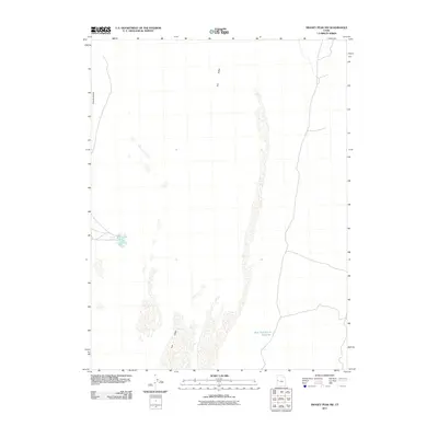
2011 Map of Swasey Peak NW
USGS Topo · Published 2011About this map
Tule Valley defines this arid landscape in western Utah, where isolated water sources and subtle terrain features provided the only reliable points of navigation. As documented in this 2011 survey, the area is characterized by sparse, intermittent hydrology, with the Coyote Spring standing out as a critical natural landmark on the western edge of the valley. The presence of the East Tule Bench Reservoir indicates modern efforts to manage and capture water in a region otherwise dominated by the dry elevations of the Coyote Knolls. This map reflects the quiet, unpopulated character of the Great Basin, where human infrastructure is limited to a few remote 4WD tracks and local roads traversing the desert floor between these isolated water points.
Find a feature on this map
4 named features on this map. Tap any name to fly to it.
Don’t see what you’re looking for? This feature index may not catch every label — zoom into the map to look around manually.
Map Details
Editions of this 2011 Swasey Peak NW Map
This is the sole edition of this map. No revisions or reprints were ever made.
Other maps of this area

1908 · Fish Springs
USGS Topo · 1:250,000

1910 · Fish Springs
USGS Topo · 1:250,000

1953 · Delta
USGS Topo · 1:250,000

1958 · Delta
USGS Topo · 1:250,000

1959 · Cowboy Pass
USGS Topo · 1:62,500

1960 · Granite Mountain
USGS Topo · 1:62,500

1962 · Delta
USGS Topo · 1:250,000

1967 · Sand Pass
USGS Topo · 1:24,000

1967 · Sand Pass SE
USGS Topo · 1:24,000

1972 · Swasey Peak SW
USGS Topo · 1:24,000