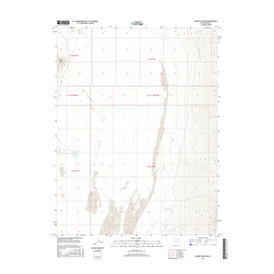
2017 Map of Swasey Peak NW
USGS Topo · Published 2017About this map
Coyote Spring serves as a vital water source in this arid Millard County landscape, situated within a topography defined by sharp elevation shifts and desert basins. The map illustrates the complex township and range system, including t16s r15w and t15 1/2s r14w, which partitions this corner of the Great Basin. To the southeast, the E Tule Bench Reservoir indicates local water management efforts on the benchlands, while the prominent Coyote Knolls rise to the northwest. This 2017 survey provides a clear view of the high-desert terrain, emphasizing the importance of these isolated springs and reservoirs for ranching or survival in the open range of western Utah.
Find a feature on this map
9 named features on this map. Tap any name to fly to it.
Don’t see what you’re looking for? This feature index may not catch every label — zoom into the map to look around manually.
Map Details
Editions of this 2017 Swasey Peak NW Map
This is the sole edition of this map. No revisions or reprints were ever made.
Other maps of this area

1908 · Fish Springs
USGS Topo · 1:250,000

1910 · Fish Springs
USGS Topo · 1:250,000

1953 · Delta
USGS Topo · 1:250,000

1958 · Delta
USGS Topo · 1:250,000

1959 · Cowboy Pass
USGS Topo · 1:62,500

1960 · Granite Mountain
USGS Topo · 1:62,500

1962 · Delta
USGS Topo · 1:250,000

1967 · Sand Pass
USGS Topo · 1:24,000

1967 · Sand Pass SE
USGS Topo · 1:24,000

1972 · Swasey Peak SW
USGS Topo · 1:24,000