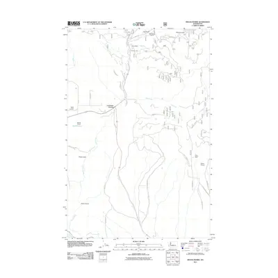
2011 Map of Swauk Prairie
USGS Topo · Published 2011About this map
Swauk Prairie occupies the heart of this central Washington landscape, where the drainage of Swauk Creek and its many tributaries define the local geography. The map reveals a rural Kittitas County community rooted in a legacy of resource extraction and ranching, evidenced by the presence of the Old Placer Mine near Deer Gulch and the Green Canyon Ranch further east. The road network connects small nodes like Lauderdale Junction and Hidden Valley, while the Swauk Prairie Cemetery serves as a significant landmark for those tracing local family histories. To the south, the terrain descends toward the Yakima River, following the seasonal paths of Dry Creek through Horse Canyon. This survey captures the transition from open prairie flats to the deep, timbered drainages of Robinson Gulch and Pine Gulch.
Find a feature on this map
42 named features on this map. Tap any name to fly to it.
Don’t see what you’re looking for? This feature index may not catch every label — zoom into the map to look around manually.
Map Details
Editions of this 2011 Swauk Prairie Map
This is the sole edition of this map. No revisions or reprints were ever made.
Other maps of this area

1897 · Mount Stuart
USGS Topo · 1:125,000

1902 · Mount Stuart
USGS Topo · 1:125,000

1957 · Wenatchee
USGS Topo · 1:250,000

1958 · Thorp
USGS Topo · 1:24,000

1958 · Thorp
USGS Topo · 1:62,500

1958 · Cle Elum
USGS Topo · 1:62,500
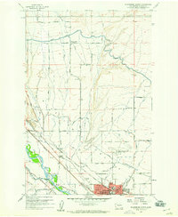
1958 · Ellensburg North
USGS Topo · 1:24,000

1961 · Liberty
USGS Topo · 1:62,500

1961 · Mount Stuart
USGS Topo · 1:62,500

1975 · Wenatchee
USGS Topo · 1:100,000