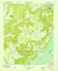
1950 Map of Swearengin
USGS Topo · Published 1950About this map
Gunters Mountain and Pisgah Mountain dominate this mid-century landscape where the Tennessee River winds through the valley. The map documents a rural community centered around the small settlement of Swearengin and the New Prospect School, defined by numerous coves and hollows like Stillhouse Hollow and Chambless Hollow. This era reflects a transition in land use, showing the Guntersville Reservation and shoreline developments such as the Preston Cabin Site Area and South Sauty Point Cabin Site Area.
Find a feature on this map
72 named features on this map. Tap any name to fly to it.
Don’t see what you’re looking for? This feature index may not catch every label — zoom into the map to look around manually.
Map Details
Editions of this 1950 Swearengin Map
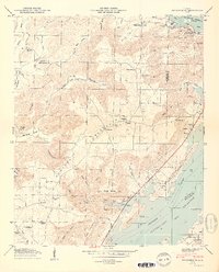
2 editions found
Other maps of this area

1885 · Gadsden
USGS Topo · 1:125,000

1888 · Gadsden
USGS Topo · 1:125,000

1888 · Scottsboro
USGS Topo · 1:125,000

1892 · Scottsboro
USGS Topo · 1:125,000

1892 · Gadsden
USGS Topo · 1:125,000

1895 · Gadsden
USGS Topo · 1:125,000

1903 · Gadsden
USGS Topo · 1:125,000

1936 · Scottsboro
USGS Topo · 1:24,000

1936 · Columbus City
USGS Topo · 1:24,000

1936 · Langston
USGS Topo · 1:24,000