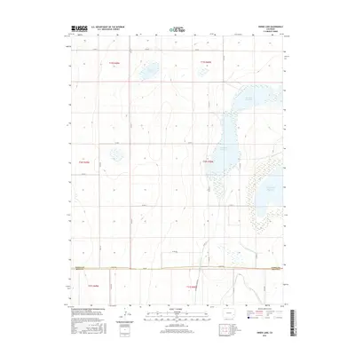
2016 Map of Swede Lake
USGS Topo · Published 2016About this map
Neesopah Reservoir and Neegronda Reservoir dominate the center of this High Plains landscape, where water management is the primary driver of development. A sophisticated network of irrigation infrastructure defines the region, including the Lone Wolf Canal, Satanta Canal, and the Fort Lyon Canal further south. The map illustrates the 2016 boundary where Kiowa Co meets Bent Co, showing a terrain gridded by rural roads such as Co RD H and Co RD 37. Swede Lake sits in the northwest, part of a series of natural and man-made water bodies that have sustained local agriculture. This survey provides a clear look at the hydraulic systems and section-line roads that have organized this part of eastern Colorado for over a century.
Find a feature on this map
31 named features on this map. Tap any name to fly to it.
Don’t see what you’re looking for? This feature index may not catch every label — zoom into the map to look around manually.
Map Details
Editions of this 2016 Swede Lake Map
This is the sole edition of this map. No revisions or reprints were ever made.
Other maps of this area

1892 · Lamar
USGS Topo · 1:125,000

1954 · Lamar
USGS Topo · 1:250,000

1955 · McClave
USGS Topo · 1:24,000

1955 · Lubers
USGS Topo · 1:24,000

1955 · Wiley
USGS Topo · 1:24,000

1958 · Lamar
USGS Topo · 1:250,000

1967 · Neenoshe Reservoir
USGS Topo · 1:24,000

1968 · Rose Ranch
USGS Topo · 1:24,000
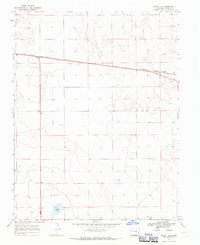
1968 · Alkali Lake
USGS Topo · 1:24,000
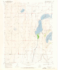
1968 · Swede Lake
USGS Topo · 1:24,000