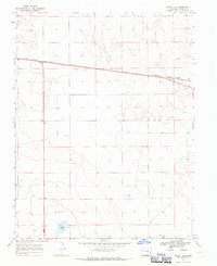
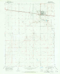
1968 Map of Alkali Lake
USGS Topo · Published 1971About this map
Missouri Pacific tracks cut a straight line across the northern expanse of this High Plains landscape, reflecting the critical role of rail transport in Kiowa County during the late 1960s. The terrain is defined by its arid character, with the basin of Alkali Lake sitting in the south and scattered wells and a Drill Hole indicating the search for water and resources in an otherwise sparse environment. Near the eastern edge, Chivington Hill provides a rare point of elevation overlooking the railroad right-of-way. The mapping captures a specific moment in rural Colorado's history where the layout of section lines and the proximity to the rail line dictated the pattern of ranching and early industrial exploration.
Find a feature on this map
7 named features on this map. Tap any name to fly to it.
Don’t see what you’re looking for? This feature index may not catch every label — zoom into the map to look around manually.
Map Details
Editions of this 1968 Alkali Lake Map
This is the sole edition of this map. No revisions or reprints were ever made.
Other maps of this area

1891 · Kit Carson
USGS Topo · 1:125,000

1892 · Lamar
USGS Topo · 1:125,000

1893 · Kit Carson
USGS Topo · 1:125,000

1954 · Lamar
USGS Topo · 1:250,000

1958 · Lamar
USGS Topo · 1:250,000

1967 · Neenoshe Reservoir
USGS Topo · 1:24,000
1968 · Chivington SE
USGS Topo · 1:24,000
1968 · Swede Lake
USGS Topo · 1:24,000
1968 · Chivington
USGS Topo · 1:24,000
1968 · Eads
USGS Topo · 1:24,000