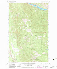
1963 Map of Swede Mountain
USGS Topo · Published 1984About this map
The Kootenai River carves a deep path through the northern reaches of this mountain landscape, closely followed by the Burlington Northern railroad. Most of the terrain is managed by the Kootenai National Forest, defined by significant elevations like Swede Mountain and McMillan Mountain. The map illustrates a landscape of resource extraction and fire management, featuring a Lookout Tower on a high peak and a Gravel Pit near the southern boundary. A remote Landing Strip is positioned in a valley clearing near the Libby Creek drainage, serving as a critical infrastructure point in this heavily timbered region. Numerous drainage systems including McMillan Creek, Lowery Gulch, and Severn Gulch feed into the river, detailing the intricate watershed of the Lincoln County wilderness during the early 1960s.
Find a feature on this map
20 named features on this map. Tap any name to fly to it.
Don’t see what you’re looking for? This feature index may not catch every label — zoom into the map to look around manually.
Map Details
Editions of this 1963 Swede Mountain Map
2 editions found

Other maps of this area

1920 · Libby
USGS Topo · 1:125,000

1920 · Jennings
USGS Topo · 1:125,000

1930 · Libby
USGS Topo · 1:125,000

1932 · Libby
USGS Topo · 1:125,000

1935 · Thompson Lakes
USGS Topo · 1:96,000

1942 · Thompson Lakes
USGS Topo · 1:125,000

1957 · Kalispell
USGS Topo · 1:250,000

1960 · Kalispell
USGS Topo · 1:250,000

1961 · Kalispell
USGS Topo · 1:250,000

1963 · Vermiculite Mountain
USGS Topo · 1:24,000