
1951 Map of Sweet Home
USGS Topo · Published 1952About this map
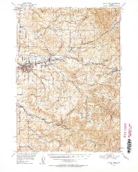
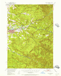
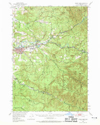
The South Santiam River valley forms the industrial and social backbone of this early 1950s Linn County landscape, where the lumber economy is evidenced by fire patrol stations and expansive forest boundaries. The settlement of Sweet Home serves as the primary hub, surrounded by smaller communities like Foster and the timber-centric rail point at Dollar. The Oregon Electric railroad follows the riverbank, providing a critical transport link for the region's resources, while infrastructure such as the Hufford Bridge and several gaging stations manage the river's flow.
Find a feature on this map
60 named features on this map. Tap any name to fly to it.
Don’t see what you’re looking for? This feature index may not catch every label — zoom into the map to look around manually.
Map Details
Editions of this 1951 Sweet Home Map
4 editions found
Other maps of this area

1921 · Brownsville
USGS Topo · 1:62,500

1921 · Lebanon
USGS Topo · 1:62,500

1922 · Lebanon
USGS Topo · 1:48,000

1924 · Lebanon
USGS Topo · 1:62,500

1929 · Mill City
USGS Topo · 1:125,000

1934 · Mc Kenzie Bridge
USGS Topo · 1:96,000

1940 · Lebanon
USGS Topo · 1:62,500

1940 · Mc Kenzie Bridge
USGS Topo · 1:125,000

1944 · Lebanon
USGS Topo · 1:62,500

1950 · Marcola
USGS Topo · 1:62,500