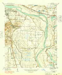
1945 Map of Sweet Home
USGS Topo · Published 1949About this map
The Arkansas River curves around a landscape of river-bottom agriculture and early industrial development southeast of Little Rock in the mid-1940s. This survey captures a specific social and educational geography, featuring the Confederate Soldiers Home and the Union Industrial Agriculture College, along with several rural schoolhouses such as Badgett Sch and East End Sch. The region is heavily influenced by its proximity to the capital, shown through Adams Airport and the concentrated settlements at College Station and Sweet Home.
Find a feature on this map
63 named features on this map. Tap any name to fly to it.
Don’t see what you’re looking for? This feature index may not catch every label — zoom into the map to look around manually.
Map Details
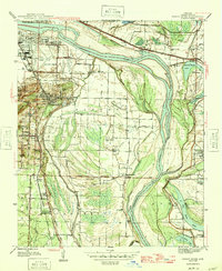
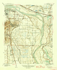
Editions of this 1945 Sweet Home Map
3 editions found
Other maps of this area

1891 · Little Rock
USGS Topo · 1:125,000

1893 · Little Rock
USGS Topo · 1:125,000

1935 · Mc Almont
USGS Topo · 1:24,000

1935 · Little Rock
USGS Topo · 1:24,000

1935 · Sweet Home
USGS Topo · 1:24,000

1935 · North Little Rock
USGS Topo · 1:24,000

1935 · Alexander
USGS Topo · 1:48,000

1939 · Keo
USGS Topo · 1:31,680

1940 · Woodson
USGS Topo · 1:31,680

1941 · Alexander
USGS Topo · 1:62,500