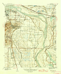
1945 Map of Sweet Home
USGS Topo · Published 1946About this map
Little Rock and North Little Rock dominate the northwestern corner of this survey, which captures the industrial and agricultural landscape south of the Arkansas River just after World War II. The terrain transitions from the heights of Granite Mtn and Pickett Hill into a complex system of bayous and oxbow lakes like Willow Beach Lake and Old River Lake. Notable institutional landmarks define the social geography, including the Confederate Soldiers Home and the Union Industrial Agriculture College near Higgins.
Find a feature on this map
50 named features on this map. Tap any name to fly to it.
Don’t see what you’re looking for? This feature index may not catch every label — zoom into the map to look around manually.
Map Details
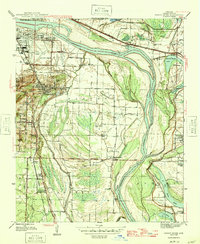
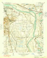
Editions of this 1945 Sweet Home Map
3 editions found
Other maps of this area

1891 · Little Rock
USGS Topo · 1:125,000

1893 · Little Rock
USGS Topo · 1:125,000

1935 · Mc Almont
USGS Topo · 1:24,000

1935 · Little Rock
USGS Topo · 1:24,000

1935 · Sweet Home
USGS Topo · 1:24,000

1935 · North Little Rock
USGS Topo · 1:24,000

1935 · Alexander
USGS Topo · 1:48,000

1939 · Keo
USGS Topo · 1:31,680

1940 · Woodson
USGS Topo · 1:31,680

1941 · Alexander
USGS Topo · 1:62,500