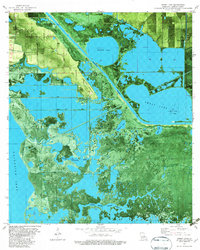
1982 Map of Sweet Lake
USGS Topo · Published 1982About this map
Sweet Lake Oil Field anchors the eastern edge of this coastal landscape, illustrating the industrial footprint on the southwestern Louisiana wetlands in the early 1980s. The region is defined by a complex network of artificial and natural waterways, including the Intracoastal Waterway and various numbered canals such as No 1 Canal. This orthophotomap provides a clear view of the low-lying terrain where Grosse Savanne and Grand Lake Ridge provide slight elevations above the surrounding marshes.
Find a feature on this map
20 named features on this map. Tap any name to fly to it.
Don’t see what you’re looking for? This feature index may not catch every label — zoom into the map to look around manually.
Map Details
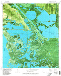
Editions of this 1982 Sweet Lake Map
2 editions found
Other maps of this area

1932 · Moss Lake
USGS Topo · 1:31,680

1932 · Lake Charles SW
USGS Topo · 1:31,680

1932 · Lake Charles SE
USGS Topo · 1:31,680

1934 · Cameron
USGS Topo · 1:24,000

1934 · Sweet Lake
USGS Topo · 1:24,000

1934 · Grand Bayou
USGS Topo · 1:24,000

1934 · Boudreaux Lake
USGS Topo · 1:24,000

1935 · Cameron
USGS Topo · 1:31,680

1935 · Sweet Lake
USGS Topo · 1:31,680

1935 · Hackberry
USGS Topo · 1:31,680