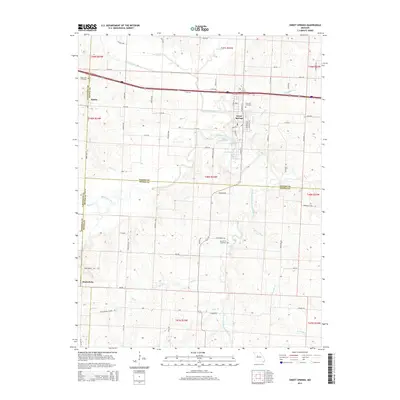
2014 Map of Sweet Springs
USGS Topo · Published 2014About this map
Sweet Springs and the village of Emma anchor this survey of the Missouri heartland where Saline, Lafayette, and Pettis counties meet. The landscape is defined by the winding course of the Blackwater River and its numerous tributaries, including the South Fork Blackwater River, Davis Creek, and Goose Cr. The municipal infrastructure of Sweet Springs is clearly visible, including City Reservoir A and City Reservoir B nestled along the riverbanks.
Find a feature on this map
83 named features on this map. Tap any name to fly to it.
Don’t see what you’re looking for? This feature index may not catch every label — zoom into the map to look around manually.
Map Details
Editions of this 2014 Sweet Springs Map
This is the sole edition of this map. No revisions or reprints were ever made.
Other maps of this area

1885 · Warrensburg
USGS Topo · 1:125,000

1887 · Sedalia
USGS Topo · 1:125,000

1887 · Warrensburg
USGS Topo · 1:125,000

1889 · Lexington
USGS Topo · 1:125,000

1890 · Marshall
USGS Topo · 1:125,000

1892 · Marshall
USGS Topo · 1:125,000

1894 · Sedalia
USGS Topo · 1:125,000

1894 · Warrensburg
USGS Topo · 1:125,000

1901 · Marshall
USGS Topo · 1:125,000

1917 · Knobnoster
USGS Topo · 1:62,500