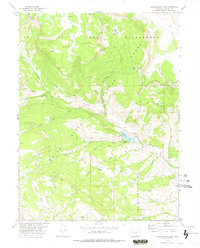
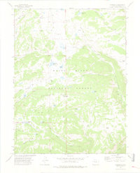
1977 Map of Sweetwater Lake
USGS Topo · Published 1978About this map
White River National Forest defines this high-elevation landscape in Colorado, characterized by the dramatic escarpments of the Flat Tops. The 1970s survey captures a region primarily managed for timber and recreation, with the Flat Tops Wilderness area protecting the northern plateaus. Water management and seasonal grazing are central to the area's geography, evidenced by the Sweetwater Guard Sta and the Hilltop Ranch located near the eastern shore of Sweetwater Lake. The map details a complex network of access routes, including the Tenmile Park Lower Short Jeep Trail and numerous named pack trails like the Ute Trail. These paths connect scattered water sources and family-named landmarks such as Johnny Meyers Lake, Darnell, and Gruner, reflecting the enduring footprint of ranching and early forest management in Garfield County.
Find a feature on this map
38 named features on this map. Tap any name to fly to it.
Don’t see what you’re looking for? This feature index may not catch every label — zoom into the map to look around manually.
Map Details
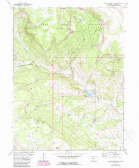
Editions of this 1977 Sweetwater Lake Map
2 editions found
Other maps of this area

1927 · Glenwood Springs
USGS Topo · 1:125,000

1930 · Glenwood Springs
USGS Topo · 1:125,000

1957 · Leadville
USGS Topo · 1:250,000

1959 · Leadville
USGS Topo · 1:250,000

1960 · Leadville
USGS Topo · 1:250,000

1962 · Leadville
USGS Topo · 1:250,000

1964 · Leadville
USGS Topo · 1:250,000
1974 · Dotsero
USGS Topo · 1:24,000
1974 · Broken Rib Creek
USGS Topo · 1:24,000
1974 · Carbonate
USGS Topo · 1:24,000