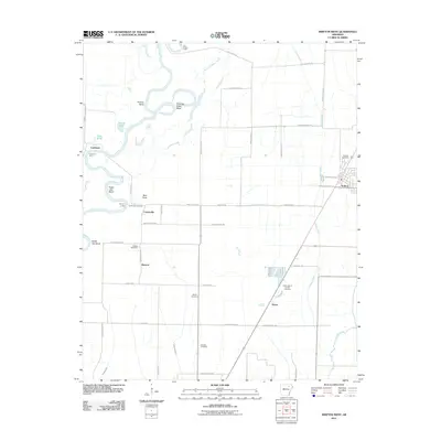
2011 Map of Swifton West
USGS Topo · Published 2011About this map
The Black River snakes across this Jackson County landscape, creating a complex series of riparian features like Perkins Bend, Eagle Lake Bend, and Battle Axe Bend. The land use is defined by a rigid grid of rural roads and drainage infrastructure, including the Tuckerman Ditch and Hatcher Ditch, which manage the low-lying terrain between the river and Cattail Creek. Small settlements and points of interest such as Kenyon, Centerville, and Vance are scattered throughout the area, connected by local routes like Decker Store Rd.
Find a feature on this map
55 named features on this map. Tap any name to fly to it.
Don’t see what you’re looking for? This feature index may not catch every label — zoom into the map to look around manually.
Map Details
Editions of this 2011 Swifton West Map
This is the sole edition of this map. No revisions or reprints were ever made.
Other maps of this area

1932 · Strawberry
USGS Topo · 1:62,500

1935 · Alicia
USGS Topo · 1:62,500

1935 · Strawberry
USGS Topo · 1:62,500

1935 · Newport
USGS Topo · 1:62,500

1935 · Tuckerman
USGS Topo · 1:62,500

1941 · Strawberry
USGS Topo · 1:62,500

1953 · Memphis
USGS Topo · 1:250,000

1955 · Strawberry
USGS Topo · 1:24,000

1955 · Cord
USGS Topo · 1:24,000

1956 · Memphis
USGS Topo · 1:250,000