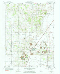
1963 Map of Switz City
USGS Topo · Published 1984About this map
Switz City serves as a central hub in this Greene County landscape, where the confluence of the Pennsylvania and Illinois Central railroads once anchored the local economy. The terrain is defined by a mix of agricultural drainage through systems like Letsinger Ditch and the visible impacts of industry, specifically numerous strip mines that pockmark the southern and central sections of the quadrangle. For genealogists, the map is remarkably dense with family-named landmarks and burial grounds, ranging from Tally Cem and Bohley Cem in the north to Waggoner Cem and Bullerman Cem near the southern border.
Find a feature on this map
40 named features on this map. Tap any name to fly to it.
Don’t see what you’re looking for? This feature index may not catch every label — zoom into the map to look around manually.
Map Details
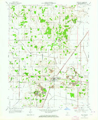
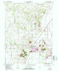
Editions of this 1963 Switz City Map
3 editions found
Other maps of this area

1908 · Bloomfield
USGS Topo · 1:62,500

1938 · Coal City
USGS Topo · 1:24,000

1938 · Switz City
USGS Topo · 1:24,000

1940 · Linton
USGS Topo · 1:24,000

1940 · Jasonville
USGS Topo · 1:24,000

1943 · Lyons
USGS Topo · 1:24,000

1943 · Sandborn
USGS Topo · 1:24,000

1947 · Switz City
USGS Topo · 1:24,000

1947 · Linton
USGS Topo · 1:24,000

1948 · Coal City
USGS Topo · 1:24,000