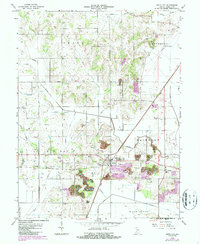
1963 Map of Switz City
USGS Topo · Published 1987About this map
Switz City serves as the primary hub of this west-central Indiana landscape, where the confluence of the Conrail railroad lines met the rural agricultural economy of the mid-20th century. The area is densely marked with family and community burial grounds, including Walker Cem, Bohley Cem, and the Bullerman Cem, providing a rich resource for genealogical research. The physical geography is defined by the winding paths of Lemon Creek, Lattas Creek, and Buck Creek, which are supplemented by an extensive network of man-made drainage such as Letsinger Ditch and Whorley Ditch. Evidence of the region's extractive industry is visible through several Gas Wells and an active Strip Mine and Tipple near the town center. Local community life is anchored by landmarks like Harrah Chapel, the High Sch, and even mid-century recreational spots like the Drive-in Theater and Golf Course.
Find a feature on this map
47 named features on this map. Tap any name to fly to it.
Don’t see what you’re looking for? This feature index may not catch every label — zoom into the map to look around manually.
Map Details
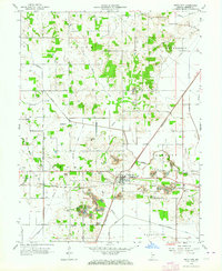
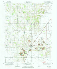
Editions of this 1963 Switz City Map
3 editions found
Other maps of this area

1908 · Bloomfield
USGS Topo · 1:62,500

1938 · Coal City
USGS Topo · 1:24,000

1938 · Switz City
USGS Topo · 1:24,000

1940 · Linton
USGS Topo · 1:24,000

1940 · Jasonville
USGS Topo · 1:24,000

1943 · Lyons
USGS Topo · 1:24,000

1943 · Sandborn
USGS Topo · 1:24,000

1947 · Switz City
USGS Topo · 1:24,000

1947 · Linton
USGS Topo · 1:24,000

1948 · Coal City
USGS Topo · 1:24,000