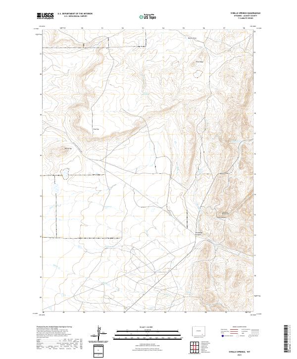
2021 Map of Sybille Springs
USGS Topo · Published 2021About this map
The Laramie Mountains dominate this high-altitude landscape of Albany County, where historical routes and natural water sources define the territory. The Old Fort Fetterman Rd cuts across the western portion of the map, tracing a legacy of frontier movement past landmarks like Flat Top and Round Top. This corridor was essential for travel between military outposts and regional centers during Wyoming's early development.
Find a feature on this map
24 named features on this map. Tap any name to fly to it.
Don’t see what you’re looking for? This feature index may not catch every label — zoom into the map to look around manually.
Map Details
Editions of this 2021 Sybille Springs Map
This is the sole edition of this map. No revisions or reprints were ever made.
Other maps of this area

1954 · Cheyenne
USGS Topo · 1:250,000

1955 · Bosler
USGS Topo · 1:24,000

1955 · Bosler SE
USGS Topo · 1:24,000

1955 · Mc Gill Lakes
USGS Topo · 1:24,000

1955 · Bluegrass Wells
USGS Topo · 1:24,000

1955 · Sybille Springs
USGS Topo · 1:24,000

1955 · Lake Ione
USGS Topo · 1:24,000

1955 · Guide Rock
USGS Topo · 1:24,000

1955 · Baldy Mountain
USGS Topo · 1:24,000

1955 · Sheep Rock
USGS Topo · 1:24,000