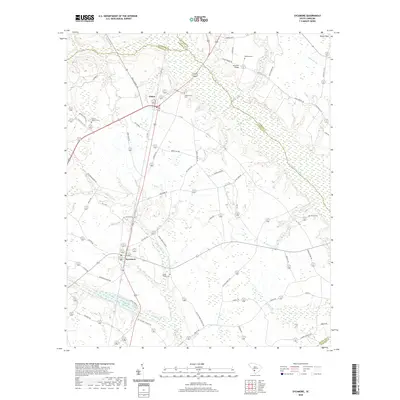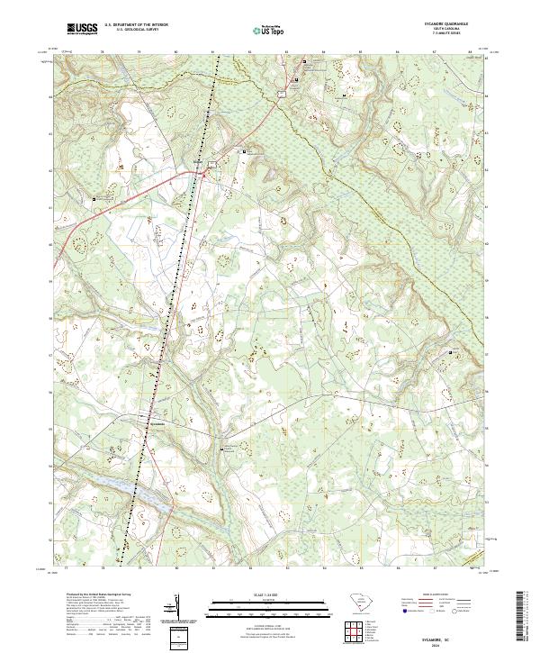
2024 Map of Sycamore
USGS Topo · Published 2024About this map
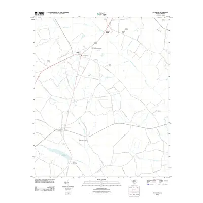
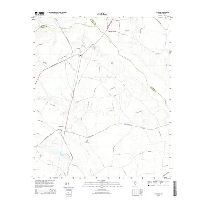
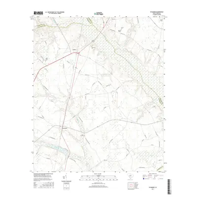
Sycamore and Ulmer serve as the primary hubs in this rural landscape where the boundaries of Allendale, Bamberg, and Barnwell counties converge. The terrain is defined by the winding course of the Salkehatchie River and its numerous tributaries, including Kirkland Creek and Bear Branch. This modern survey reveals a dense network of local roads such as Old Orangeburg Rd and Brant Hill Rd that connect family-named landmarks and historical church sites across the lowlands. For those researching local lineages, the map identifies several distinct burial grounds, from the Ebenezer United Methodist Church Cem in the north to the Miller Swamp Church Graveyard further south. The drainage patterns of Miller Swamp and Jackson Branch illustrate the hydrological character of this South Carolina interior region, where small settlements developed around early river crossings and agricultural intersections.
Find a feature on this map
76 named features on this map. Tap any name to fly to it.
Don’t see what you’re looking for? This feature index may not catch every label — zoom into the map to look around manually.
Map Details
Editions of this 2024 Sycamore Map
This is the sole edition of this map. No revisions or reprints were ever made.
Historical Maps of Sycamore Through Time
6 maps found