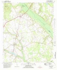
1982 Map of Sycamore
USGS Topo · Published 1983About this map
The Salkehatchie River and its accompanying wetlands define the eastern corridor of this South Carolina landscape, where the boundaries of Allendale, Barnwell, Bamberg, and Hampton counties converge. Small agricultural settlements such as Ulmer and Sycamore are connected by the Seaboard Coast Line railroad, illustrating the long-standing reliance on rail transport for this rural region. Numerous country churches and family-named cemeteries are scattered across the terrain, including Mizpah Ch, Ebenezer Ch, and Kirkland Cem, which serve as vital markers for genealogical research in the Lowcountry. To the south, the presence of Tutens Millpond and Miller Swamp highlights the hydrology of the area, while landmarks like Ulmers Lookout Tower and Phillips Airstrip indicate localized infrastructure and fire management during the early 1980s.
Find a feature on this map
32 named features on this map. Tap any name to fly to it.
Don’t see what you’re looking for? This feature index may not catch every label — zoom into the map to look around manually.
Map Details
Editions of this 1982 Sycamore Map
This is the sole edition of this map. No revisions or reprints were ever made.
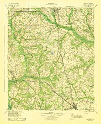
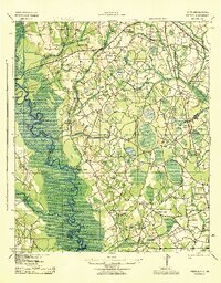
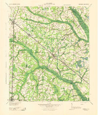
Other maps of this area

1918 · Varnville
USGS Topo · 1:62,500

1919 · Olar
USGS Topo · 1:62,500

1919 · Allendale
USGS Topo · 1:62,500

1920 · Peeples
USGS Topo · 1:62,500

1943 · Olar
USGS Topo · 1:62,500
1943 · Allendale
USGS Topo · 1:62,500
1943 · Peeples
USGS Topo · 1:62,500
1944 · Varnville
USGS Topo · 1:62,500

1947 · Savannah
USGS Topo · 1:250,000

1948 · Savannah
USGS Topo · 1:250,000