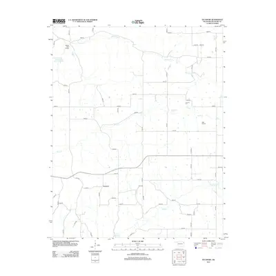
2012 Map of Sycamore
USGS Topo · Published 2012About this map
Sycamore sits at the heart of this Northeast Oklahoma landscape, where the Ozark plateau begins its transition toward the plains. The region is defined by its dendritic drainage patterns, with Whitewater Cr and Brush Cr carving through the terrain. To the north, the Whitewater Cr Site 3 Reservoir serves as a significant local landmark near the distinctive Yellow Bird Hollow.
Find a feature on this map
51 named features on this map. Tap any name to fly to it.
Don’t see what you’re looking for? This feature index may not catch every label — zoom into the map to look around manually.
Map Details
Editions of this 2012 Sycamore Map
This is the sole edition of this map. No revisions or reprints were ever made.
Other maps of this area

1899 · Siloam Springs
USGS Topo · 1:125,000

1903 · Siloam Springs
USGS Topo · 1:125,000

1904 · Siloam Springs
USGS Topo · 1:125,000

1907 · Wyandotte
USGS Topo · 1:125,000

1909 · Wyandotte
USGS Topo · 1:125,000

1954 · Tulsa
USGS Topo · 1:250,000

1958 · Tulsa
USGS Topo · 1:250,000

1963 · Tulsa
USGS Topo · 1:250,000

1964 · Dodge
USGS Topo · 1:24,000
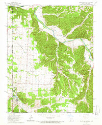
1965 · South West City
USGS Topo · 1:24,000