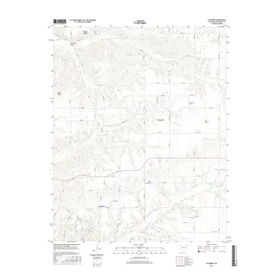
2016 Map of Sycamore
USGS Topo · Published 2016About this map
Sycamore and Indianola anchor the southern and central portions of this 2016 survey, representing the rural landscape of Delaware County. The terrain is defined by a series of creek drainages including Whitewater Cr in the north and Beaty Cr in the south, which cut through the Ozark plateau to form features like Yellow Bird Hollow. The map provides specific locations for three local burial grounds — Indianola Cem, Mount Hermon Cem, and Ward Cem — which are critical for genealogical research in this part of Oklahoma.
Find a feature on this map
80 named features on this map. Tap any name to fly to it.
Don’t see what you’re looking for? This feature index may not catch every label — zoom into the map to look around manually.
Map Details
Editions of this 2016 Sycamore Map
This is the sole edition of this map. No revisions or reprints were ever made.
Other maps of this area

1899 · Siloam Springs
USGS Topo · 1:125,000

1903 · Siloam Springs
USGS Topo · 1:125,000

1904 · Siloam Springs
USGS Topo · 1:125,000

1907 · Wyandotte
USGS Topo · 1:125,000

1909 · Wyandotte
USGS Topo · 1:125,000

1954 · Tulsa
USGS Topo · 1:250,000

1958 · Tulsa
USGS Topo · 1:250,000

1963 · Tulsa
USGS Topo · 1:250,000

1964 · Dodge
USGS Topo · 1:24,000
1965 · South West City
USGS Topo · 1:24,000