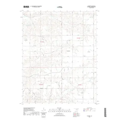
2018 Map of Sycamore
USGS Topo · Published 2018About this map
Sycamore and Indianola anchor this portion of Delaware County, where the landscape is defined by the dendritic drainage patterns of Whitewater Cr and Beaty Cr. The terrain reveals a transition from the elevated ridges near Yellow Bird Hollow to the low-lying Wet Prairie in the east. This modern survey reflects the persistent rural character of northeastern Oklahoma, showing a dense grid of county roads that connects isolated homesteads and local landmarks like Mount Hermon Cem. Notable water management is evident at the Whitewater Cr Site 3 Reservoir, which stands as a significant hydrological feature in the northwestern quadrant. The map provides a clear look at the Public Land Survey System boundaries, including the intersection of t23n r24e and t23n r25e, which continues to organize the settlement and property lines of the region.
Find a feature on this map
51 named features on this map. Tap any name to fly to it.
Don’t see what you’re looking for? This feature index may not catch every label — zoom into the map to look around manually.
Map Details
Editions of this 2018 Sycamore Map
This is the sole edition of this map. No revisions or reprints were ever made.
Other maps of this area

1899 · Siloam Springs
USGS Topo · 1:125,000

1903 · Siloam Springs
USGS Topo · 1:125,000

1904 · Siloam Springs
USGS Topo · 1:125,000

1907 · Wyandotte
USGS Topo · 1:125,000

1909 · Wyandotte
USGS Topo · 1:125,000

1954 · Tulsa
USGS Topo · 1:250,000

1958 · Tulsa
USGS Topo · 1:250,000

1963 · Tulsa
USGS Topo · 1:250,000

1964 · Dodge
USGS Topo · 1:24,000
1965 · South West City
USGS Topo · 1:24,000