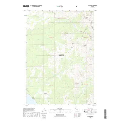
2017 Map of Sylvan Lake
USGS Topo · Published 2017About this map
The Continental Divide carves through this high-altitude landscape where Yellowstone National Park meets the Shoshone National Forest. This section of the eastern park boundary is defined by the high peaks of the Absaroka Range, including Grizzly Peak and Top Notch Peak. The map documents the vital infrastructure of the East Entrance Road as it winds through Sylvan Pass, providing a primary artery for travelers entering the park from the east.
Find a feature on this map
30 named features on this map. Tap any name to fly to it.
Don’t see what you’re looking for? This feature index may not catch every label — zoom into the map to look around manually.
Map Details
Editions of this 2017 Sylvan Lake Map
This is the sole edition of this map. No revisions or reprints were ever made.
Other maps of this area

1885 · Lake
USGS Topo · 1:125,000

1886 · Canyon
USGS Topo · 1:125,000

1895 · Canyon
USGS Topo · 1:125,000

1895 · Lake
USGS Topo · 1:125,000

1896 · Lake
USGS Topo · 1:125,000

1896 · Canyon
USGS Topo · 1:125,000

1901 · Canyon
USGS Topo · 1:125,000

1901 · Lake
USGS Topo · 1:125,000

1906 · Lake
USGS Topo · 1:125,000

1907 · Canyon
USGS Topo · 1:125,000