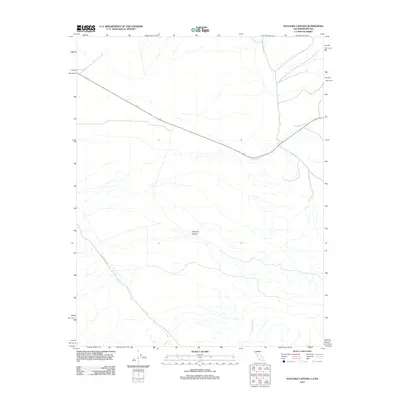
2012 Map of Sylvania Canyon
USGS Topo · Published 2012About this map
Sylvania Canyon cuts through this high-desert landscape in the remote eastern reaches of Inyo County, California, bordering the Nevada state line. This 2012 survey illustrates the sparse, drainage-defined terrain of the Great Basin, where seasonal watercourses like Palmetto Wash and Willow Wash have carved distinct paths across the arid floor. Human presence is light, marked primarily by the traverse of Eureka Valley Rd as it navigates the alluvial fans. The map provides a precise look at the land's hydrology and contours just after the turn of the 21st century, offering a clear record of the area's physical geography in a region known for its isolation and mining history.
Find a feature on this map
4 named features on this map. Tap any name to fly to it.
Don’t see what you’re looking for? This feature index may not catch every label — zoom into the map to look around manually.
Map Details
Editions of this 2012 Sylvania Canyon Map
This is the sole edition of this map. No revisions or reprints were ever made.
Other maps of this area

1898 · Silver Peak
USGS Topo · 1:125,000

1900 · Silver Peak
USGS Topo · 1:125,000

1908 · Lida
USGS Topo · 1:250,000

1913 · Lida
USGS Topo · 1:250,000

1954 · Goldfield
USGS Topo · 1:250,000

1955 · Goldfield
USGS Topo · 1:250,000

1957 · Magruder Mtn
USGS Topo · 1:62,500

1958 · Goldfield
USGS Topo · 1:250,000

1958 · Soldier Pass
USGS Topo · 1:62,500

1962 · Goldfield
USGS Topo · 1:250,000