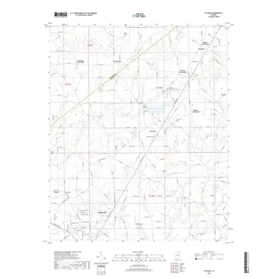
2018 Map of Sylvania
USGS Topo · Published 2018About this map
Sylvania and Rainsville anchor this portion of the Sand Mountain plateau in northeastern Alabama during the late 2010s. The landscape is defined by a dense network of county roads connecting established rural settlements like Bowman Crossroads, Browntown, and Brooks Crossroads. Small family and community landmarks are frequent, including Samples Cem near Jacobs Cr and the Dean Chapel Cem to the north.
Find a feature on this map
192 named features on this map. Tap any name to fly to it.
Don’t see what you’re looking for? This feature index may not catch every label — zoom into the map to look around manually.
Map Details
Editions of this 2018 Sylvania Map
This is the sole edition of this map. No revisions or reprints were ever made.
Other maps of this area

1886 · Stevenson
USGS Topo · 1:125,000

1892 · Stevenson
USGS Topo · 1:125,000

1893 · Fort Payne
USGS Topo · 1:125,000

1895 · Stevenson
USGS Topo · 1:125,000

1898 · Fort Payne
USGS Topo · 1:125,000

1900 · Fort Payne
USGS Topo · 1:125,000

1936 · Ider
USGS Topo · 1:24,000

1936 · Dugout Valley
USGS Topo · 1:24,000

1936 · Chavies
USGS Topo · 1:24,000

1936 · Dutton
USGS Topo · 1:24,000