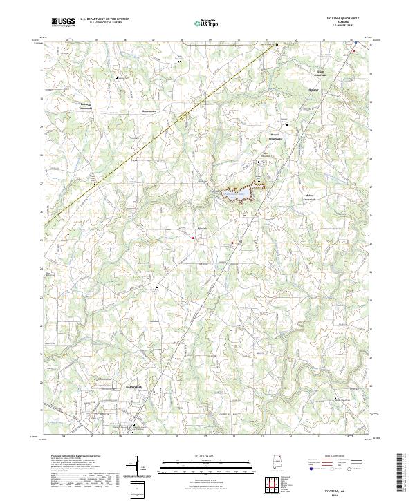
2024 Map of Sylvania
USGS Topo · Published 2024About this map
Sand Mountain dominates the high plateau of the northeast Alabama landscape, providing the foundation for a network of rural settlements and agricultural crossroads. The town of Sylvania serves as a central hub, flanked by the residential expansion of Rainsville to the south. This modern survey illustrates how traditional community nodes like Elliott Crossroads, Brooks Crossroads, and Mahan Crossroads have persisted as significant landmarks in the upland geography. Local history is deeply etched into the land through numerous family and community burial grounds, including Wesley Chapel Cem and Lacy's Chapel Cem.
Find a feature on this map
186 named features on this map. Tap any name to fly to it.
Don’t see what you’re looking for? This feature index may not catch every label — zoom into the map to look around manually.
Map Details
Editions of this 2024 Sylvania Map
This is the sole edition of this map. No revisions or reprints were ever made.
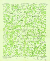
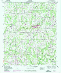
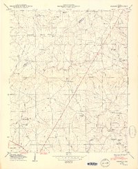
Historical Maps of Mahan Crossroads Through Time
4 maps found