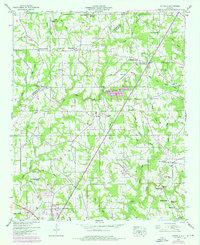
1947 Map of Sylvania
USGS Topo · Published 1976About this map
Sand Mountain dominates the landscape of this DeKalb County survey, where agricultural settlements are clustered along a network of state routes. The town of Sylvania and the growing community of Rainsville serve as primary hubs, connected by Alabama 75. The map reveals a dense social fabric defined by numerous country churches and family-named landmarks, such as Unity Ch, Double Spring Church, and Wesley Chapel.
Find a feature on this map
64 named features on this map. Tap any name to fly to it.
Don’t see what you’re looking for? This feature index may not catch every label — zoom into the map to look around manually.
Map Details
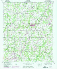
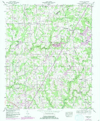
Editions of this 1947 Sylvania Map
3 editions found
Other maps of this area

1886 · Stevenson
USGS Topo · 1:125,000

1892 · Stevenson
USGS Topo · 1:125,000

1893 · Fort Payne
USGS Topo · 1:125,000

1895 · Stevenson
USGS Topo · 1:125,000

1898 · Fort Payne
USGS Topo · 1:125,000

1900 · Fort Payne
USGS Topo · 1:125,000

1936 · Ider
USGS Topo · 1:24,000

1936 · Dugout Valley
USGS Topo · 1:24,000

1936 · Chavies
USGS Topo · 1:24,000

1936 · Dutton
USGS Topo · 1:24,000