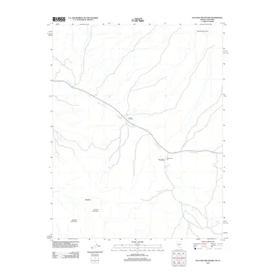
2012 Map of Sylvania Mountains
USGS Topo · Published 2012About this map
Sylvania Mountains and the Palmetto Mountains dominate this high-desert landscape along the California-Nevada border. This area is characterized by a network of ephemeral drainages, primarily the extensive Palmetto Wash, which dictates the movement of travel and water through the arid terrain. Traces of early industrial activity and mail delivery are evident in the presence of the Pigeon Stamp Mill and the Pigeon Spring Post Office.
Find a feature on this map
12 named features on this map. Tap any name to fly to it.
Don’t see what you’re looking for? This feature index may not catch every label — zoom into the map to look around manually.
Map Details
Editions of this 2012 Sylvania Mountains Map
This is the sole edition of this map. No revisions or reprints were ever made.
Other maps of this area

1898 · Silver Peak
USGS Topo · 1:125,000

1900 · Silver Peak
USGS Topo · 1:125,000

1908 · Lida
USGS Topo · 1:250,000

1913 · Lida
USGS Topo · 1:250,000

1954 · Goldfield
USGS Topo · 1:250,000

1955 · Goldfield
USGS Topo · 1:250,000

1957 · Magruder Mtn
USGS Topo · 1:62,500

1958 · Goldfield
USGS Topo · 1:250,000

1958 · Soldier Pass
USGS Topo · 1:62,500

1962 · Goldfield
USGS Topo · 1:250,000