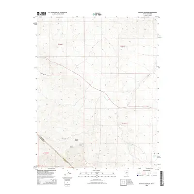
2015 Map of Sylvania Mountains
USGS Topo · Published 2015About this map
The Sylvania Mountains straddle the desert borderlands between Inyo County and Nevada, defining a landscape of deep canyons and seasonal drainages. This high-elevation terrain is centered around the settlement of Sylvania, where the topography breaks into significant features such as Sylvania Canyon, White Cliff Canyon, and Cucomungo Canyon. Water sources are sparse but critical, evidenced by the named points like Mud Spring, Log Spring, and Carpenter Spring that occur along the mountain flanks. Transportation through this remote stretch relies on primitive routes, notably Pigeon Springs Rd and Buster Rd, which follow the natural contours of the land. The map captures the intersection of the Nevada California state line and the Esmeralda Co Inyo Co boundary, illustrating how political borders cut across these prominent geological formations.
Find a feature on this map
17 named features on this map. Tap any name to fly to it.
Don’t see what you’re looking for? This feature index may not catch every label — zoom into the map to look around manually.
Map Details
Editions of this 2015 Sylvania Mountains Map
This is the sole edition of this map. No revisions or reprints were ever made.
Other maps of this area

1898 · Silver Peak
USGS Topo · 1:125,000

1900 · Silver Peak
USGS Topo · 1:125,000

1908 · Lida
USGS Topo · 1:250,000

1913 · Lida
USGS Topo · 1:250,000

1954 · Goldfield
USGS Topo · 1:250,000

1955 · Goldfield
USGS Topo · 1:250,000

1957 · Magruder Mtn
USGS Topo · 1:62,500

1958 · Goldfield
USGS Topo · 1:250,000

1958 · Soldier Pass
USGS Topo · 1:62,500

1962 · Goldfield
USGS Topo · 1:250,000