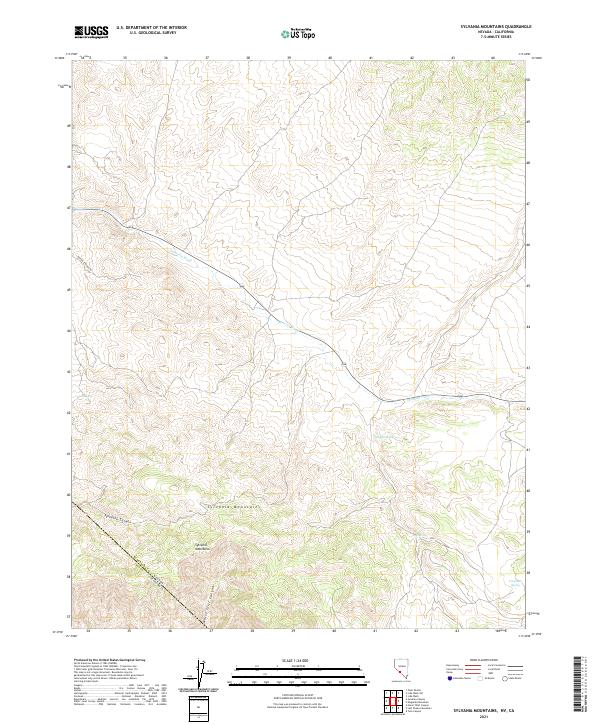
2021 Map of Sylvania Mountains
USGS Topo · Published 2021About this map
The Sylvania Mountains dominate this high-desert landscape along the border between Nevada and California. The 2021 survey traces the dramatic topography of the Sylvania Canyon and White Cliff Canyon, where seasonal water drainage patterns like the Palmetto Wash define the local geography. This area is characterized by its vital water sources in a dry climate, marked by numerous named springs such as Pigeon Spring, Log Spring, Mud Spring, and Carpenter Spring. The presence of Pigeon Springs Rd indicates the importance of these water points for regional transit across the state line between Esmeralda County, Nevada and Inyo County, California. Geologists and local historians can trace the intersection of ancient geological formations and the essential hydrology that has long dictated movement through this corner of the Great Basin.
Find a feature on this map
15 named features on this map. Tap any name to fly to it.
Don’t see what you’re looking for? This feature index may not catch every label — zoom into the map to look around manually.
Map Details
Editions of this 2021 Sylvania Mountains Map
This is the sole edition of this map. No revisions or reprints were ever made.
Other maps of this area

1898 · Silver Peak
USGS Topo · 1:125,000

1900 · Silver Peak
USGS Topo · 1:125,000

1908 · Lida
USGS Topo · 1:250,000

1913 · Lida
USGS Topo · 1:250,000

1954 · Goldfield
USGS Topo · 1:250,000

1955 · Goldfield
USGS Topo · 1:250,000

1957 · Magruder Mtn
USGS Topo · 1:62,500

1958 · Goldfield
USGS Topo · 1:250,000

1958 · Soldier Pass
USGS Topo · 1:62,500

1962 · Goldfield
USGS Topo · 1:250,000