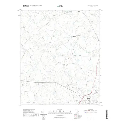
2020 Map of Sylvania North
USGS Topo · Published 2020About this map
Sylvania and its surrounding countryside in northern Screven County are defined by a network of creeks and rural family settlements. The northern edge of the city is anchored by the Screven County Courthouse, with neighborhoods transitioning into timber and agricultural lands cut by Buck Cr and Robinson Pond. This landscape is marked by historical family and community burial grounds, including Bascom Cem, Lewis Cem, and the remote Waters Cem situated near the headwaters of Ogeechee Cr. Small unincorporated communities like Bascom, Lewis, and Zeigler are linked by a dense web of long-standing local routes such as Buttermilk Rd and Hiltonia-Perkins Rd. The drainage patterns of the coastal plain are clearly visible through the numerous branches and creeks, including Horsepen Br, Waterhole Br, and the winding course of Beaverdam Creek near Hilton Bridge.
Find a feature on this map
77 named features on this map. Tap any name to fly to it.
Don’t see what you’re looking for? This feature index may not catch every label — zoom into the map to look around manually.
Map Details
Editions of this 2020 Sylvania North Map
This is the sole edition of this map. No revisions or reprints were ever made.
Other maps of this area

1918 · Oliver
USGS Topo · 1:62,500

1920 · Hilltonia
USGS Topo · 1:62,500

1920 · Millen
USGS Topo · 1:62,500

1920 · Oliver
USGS Topo · 1:62,500

1921 · Rocky Ford
USGS Topo · 1:62,500

1943 · Hilltonia
USGS Topo · 1:62,500

1943 · Rocky Ford
USGS Topo · 1:62,500

1943 · Millen
USGS Topo · 1:62,500

1943 · Millen
USGS Topo · 1:125,000

1943 · Oliver
USGS Topo · 1:62,500