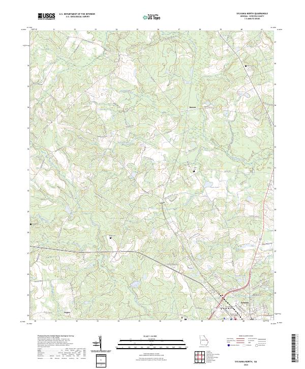
2024 Map of Sylvania North
USGS Topo · Published 2024About this map
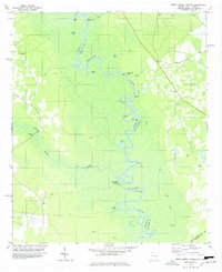
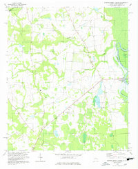
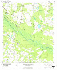
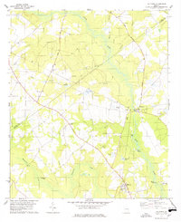
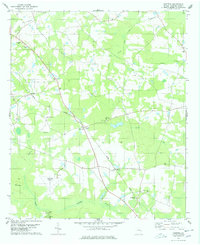
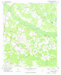
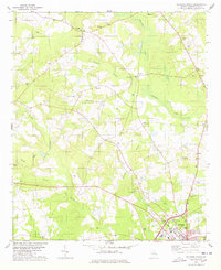
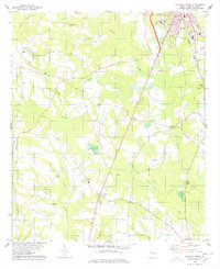
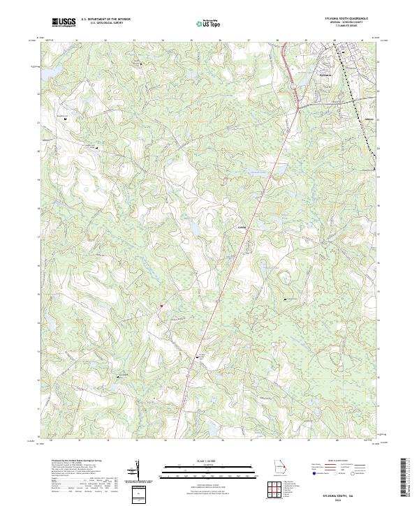
Sylvania serves as a focal point in this Screven County landscape, where the Screven County Courthouse marks the local seat of government. The area is defined by a network of drainage systems including Beaverdam Creek, Ogeechee Creek, and the headwaters of Buck Creek, interspersed with agricultural interests and small settlements. Local history is deeply rooted in the rural landscape, as evidenced by several family and community burial grounds such as Bascom Cem, Lewis Cem, and Waters Cem.
Find a feature on this map
85 named features on this map. Tap any name to fly to it.
Don’t see what you’re looking for? This feature index may not catch every label — zoom into the map to look around manually.
Map Details
Editions of this 2024 Sylvania North Map
This is the sole edition of this map. No revisions or reprints were ever made.
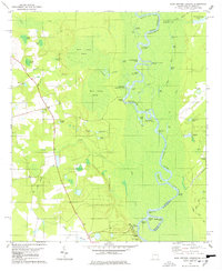
Historical Maps of Zeigler Through Time
20 maps found
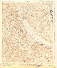
1920 Hilltonia
Screven County, GA
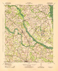
1943 Hilltonia
Screven County, GA
1978 Blue Springs Landing
Screven County, GA
1978 Brier Creek Landing
Screven County, GA
1978 Burtons Ferry Landing
Screven County, GA
1978 Dover
Screven County, GA
1978 Hilltonia
Screven County, GA
1978 Hunters
Screven County, GA
1978 Jacksonboro Bridge
Screven County, GA
1978 Sylvania North
Screven County, GA
1978 Sylvania South
Screven County, GA
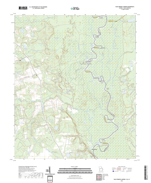
2024 Blue Springs Landing
Screven County, GA
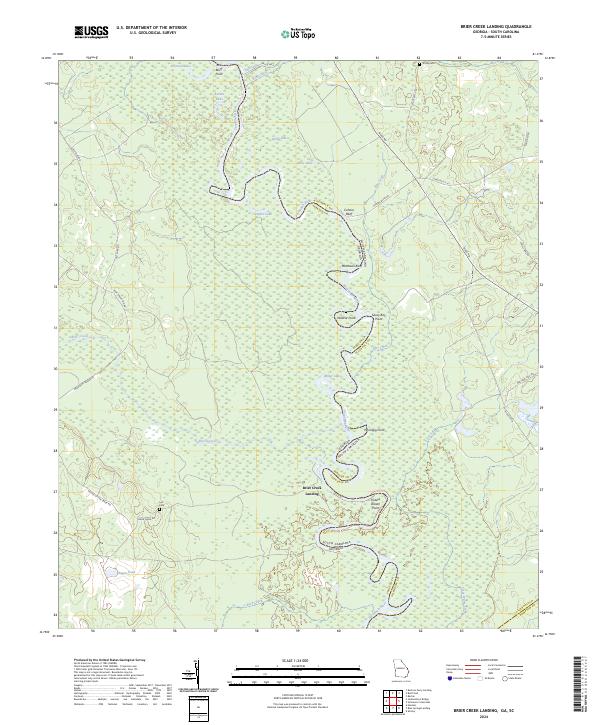
2024 Brier Creek Landing
Screven County, GA
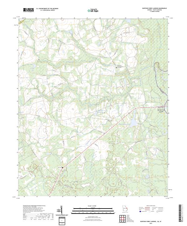
2024 Burtons Ferry Landing
Screven County, GA
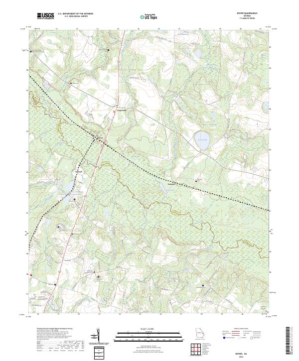
2024 Dover
Screven County, GA
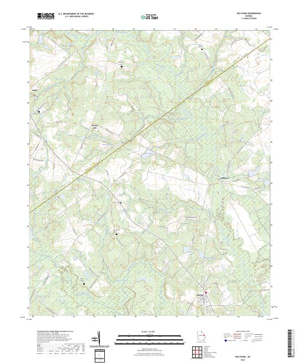
2024 Hilltonia
Screven County, GA
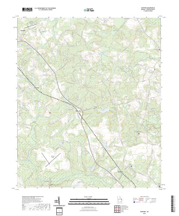
2024 Hunters
Screven County, GA
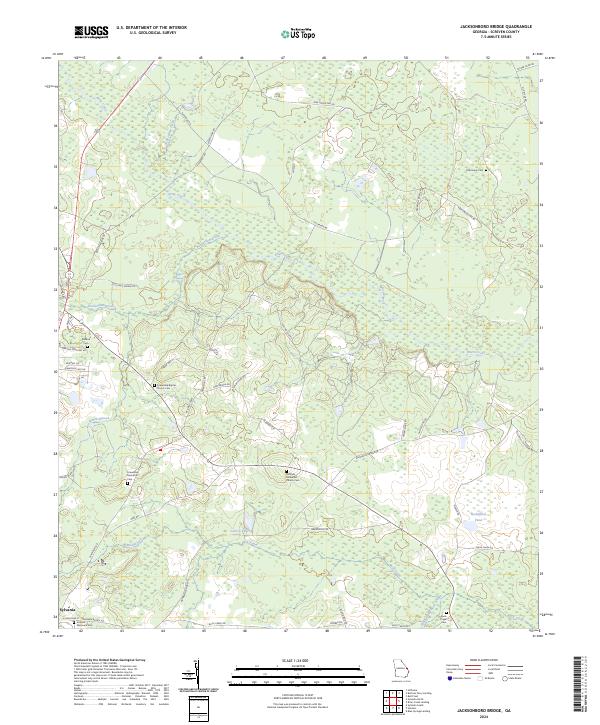
2024 Jacksonboro Bridge
Screven County, GA
2024 Sylvania North
Screven County, GA
2024 Sylvania South
Screven County, GA