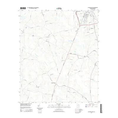
2014 Map of Sylvania South
USGS Topo · Published 2014About this map
Sylvania serves as the focal point for this Screven County landscape, where the town's residential grid transitions into a network of outlying agricultural and timber lands. The area is defined by the winding course of Ogeechee Cr and the S Fork Ogeechee Cr, which together feed numerous isolated wetlands such as Freemam Pond and Nelson Pond. These water bodies and their associated branches, like Hen Coop Br and Mill Branch, have historically shaped the placement of local infrastructure and crossings like Bests Bridge.
Find a feature on this map
94 named features on this map. Tap any name to fly to it.
Don’t see what you’re looking for? This feature index may not catch every label — zoom into the map to look around manually.
Map Details
Editions of this 2014 Sylvania South Map
This is the sole edition of this map. No revisions or reprints were ever made.
Other maps of this area

1918 · Oliver
USGS Topo · 1:62,500

1920 · Hilltonia
USGS Topo · 1:62,500

1920 · Millen
USGS Topo · 1:62,500

1920 · Oliver
USGS Topo · 1:62,500

1921 · Rocky Ford
USGS Topo · 1:62,500

1943 · Hilltonia
USGS Topo · 1:62,500

1943 · Rocky Ford
USGS Topo · 1:62,500

1943 · Millen
USGS Topo · 1:62,500

1943 · Millen
USGS Topo · 1:125,000

1943 · Oliver
USGS Topo · 1:62,500