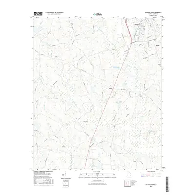
2017 Map of Sylvania South
USGS Topo · Published 2017About this map
Sylvania serves as the primary hub in this Georgia landscape, its residential grid defined by streets like Pine St and S Hull St. To the south, the settlement of Goloid sits near a dense network of water bodies, including Miller Pond and Blalock Pond. The terrain is characterized by the branching systems of Ogeechee Creek and the South Fork Ogeechee Creek, which dictate the placement of crossings such as McCall Bridge and Bests Bridge. Local history is deeply embedded in the numerous family and community burial grounds scattered across the countryside, from Sylvania Cem in the north to the more secluded Howard Cem and Springhead Cem further south. This 2017 survey reflects a rural Georgia county where modern infrastructure, like the Perimeter Rd bypass, has begun to wrap around older established neighborhoods while the outlying areas remain tied to the natural hydrology of the Ogeechee basin.
Find a feature on this map
95 named features on this map. Tap any name to fly to it.
Don’t see what you’re looking for? This feature index may not catch every label — zoom into the map to look around manually.
Map Details
Editions of this 2017 Sylvania South Map
This is the sole edition of this map. No revisions or reprints were ever made.
Other maps of this area

1918 · Oliver
USGS Topo · 1:62,500

1920 · Hilltonia
USGS Topo · 1:62,500

1920 · Millen
USGS Topo · 1:62,500

1920 · Oliver
USGS Topo · 1:62,500

1921 · Rocky Ford
USGS Topo · 1:62,500

1943 · Hilltonia
USGS Topo · 1:62,500

1943 · Rocky Ford
USGS Topo · 1:62,500

1943 · Millen
USGS Topo · 1:62,500

1943 · Millen
USGS Topo · 1:125,000

1943 · Oliver
USGS Topo · 1:62,500