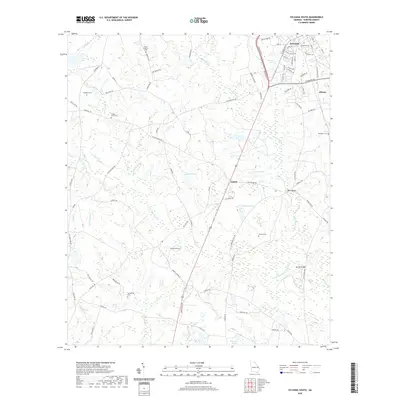
2020 Map of Sylvania South
USGS Topo · Published 2020About this map
Sylvania's southern outskirts give way to a landscape defined by the low-lying drainages of the Savannah River watershed, where the South Fork Ogeechee Creek and its many tributaries carve a intricate pattern through Screven County. The settlement of Goloid sits centrally along the main north-south highway, surrounded by a network of local roads such as Old Ogeechee Rd and Rocky Ford Rd. This area is particularly rich for genealogical research, documenting numerous family and community burial grounds including Sylvania Cem, Mount Pleasant Cem, and Zeigler Cem Three. The terrain is punctuated by small bodies of water like Bennett Lake, Nelson Pond, and Miller Pond, which illustrate the natural drainage patterns of this coastal plain region. To the east, the small settlement of Altman marks the edge of a rural landscape that remains predominantly agricultural and forested, with names like Hen Coop Br and Simmons Br recording the local hydrology.
Find a feature on this map
90 named features on this map. Tap any name to fly to it.
Don’t see what you’re looking for? This feature index may not catch every label — zoom into the map to look around manually.
Map Details
Editions of this 2020 Sylvania South Map
This is the sole edition of this map. No revisions or reprints were ever made.
Other maps of this area

1918 · Oliver
USGS Topo · 1:62,500

1920 · Hilltonia
USGS Topo · 1:62,500

1920 · Millen
USGS Topo · 1:62,500

1920 · Oliver
USGS Topo · 1:62,500

1921 · Rocky Ford
USGS Topo · 1:62,500

1943 · Hilltonia
USGS Topo · 1:62,500

1943 · Rocky Ford
USGS Topo · 1:62,500

1943 · Millen
USGS Topo · 1:62,500

1943 · Millen
USGS Topo · 1:125,000

1943 · Oliver
USGS Topo · 1:62,500