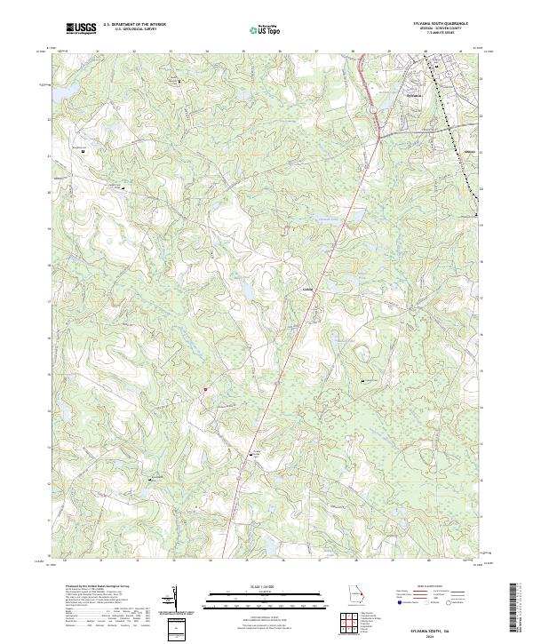
2024 Map of Sylvania South
USGS Topo · Published 2024About this map
The settlement of Sylvania serves as the primary hub on this Screven County quadrangle, situated where the terrain begins its slow descent toward the complex drainage of the South Fork Ogeechee Creek. Moving south from the town center, the landscape is defined by a dense network of country roads and family-named landmarks that hint at generations of local residence. Names like Goloid Church Rd and Arnett School Rd point to the former social centers of the rural community, while the presence of the Farm Service Agency Interest of Georgia tracts highlights the ongoing importance of managed agricultural lands in the region. Scattered throughout the wooded divides between Freeman Pond and Miller Pond are numerous small burial grounds, including the Double Heads Cem and Mount Pleasant Cem, which provide essential geographic anchors for genealogical research in this part of Georgia.
Find a feature on this map
88 named features on this map. Tap any name to fly to it.
Don’t see what you’re looking for? This feature index may not catch every label — zoom into the map to look around manually.
Map Details
Editions of this 2024 Sylvania South Map
This is the sole edition of this map. No revisions or reprints were ever made.
Other maps of this area

1918 · Oliver
USGS Topo · 1:62,500

1920 · Hilltonia
USGS Topo · 1:62,500

1920 · Millen
USGS Topo · 1:62,500

1920 · Oliver
USGS Topo · 1:62,500

1921 · Rocky Ford
USGS Topo · 1:62,500

1943 · Hilltonia
USGS Topo · 1:62,500

1943 · Rocky Ford
USGS Topo · 1:62,500

1943 · Millen
USGS Topo · 1:62,500

1943 · Millen
USGS Topo · 1:125,000

1943 · Oliver
USGS Topo · 1:62,500