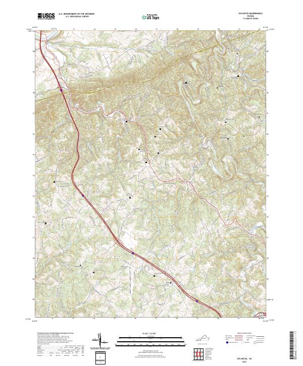
2022 Map of Sylvatus
USGS Topo · Published 2022About this map
Little Reed Island Creek and its many tributaries, including Moccasin Br and Trout Br, carve through the complex topography of this corner of southwest Virginia. The landscape is defined by the winding boundary between Wythe Co and Carroll Co, where a dense network of family cemeteries and rural church sites reveals a deeply rooted community. Points of local significance such as the Shiloh United Methodist Church and the Twin County Airport serve as central landmarks amidst the ridges and hollows.
Find a feature on this map
121 named features on this map. Tap any name to fly to it.
Don’t see what you’re looking for? This feature index may not catch every label — zoom into the map to look around manually.
Map Details
Editions of this 2022 Sylvatus Map
This is the sole edition of this map. No revisions or reprints were ever made.
Other maps of this area

1889 · Hillsville
USGS Topo · 1:125,000

1892 · Hillsville
USGS Topo · 1:125,000

1896 · Hillsville
USGS Topo · 1:125,000

1930 · Max Meadows
USGS Topo · 1:62,500

1931 · Galax
USGS Topo · 1:48,000

1933 · Galax
USGS Topo · 1:62,500

1953 · Winston-Salem
USGS Topo · 1:250,000

1955 · Winston-Salem
USGS Topo · 1:250,000

1956 · Macks Mountain
USGS Topo · 1:62,500

1957 · Mount Airy
USGS Topo · 1:62,500