Loading...
Loading map...2024 Map of Sylvester
USGS Topo · Published 2024About this map
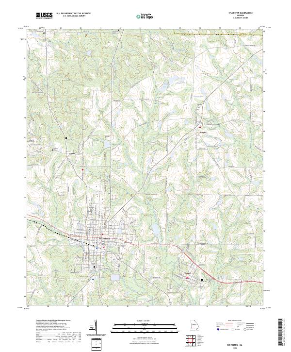
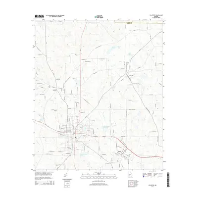
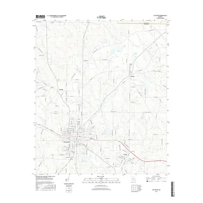
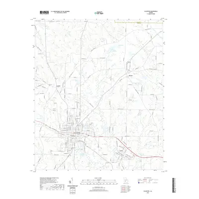
Sylvester and its surrounding communities in Worth County are defined by a landscape of agriculture and early transportation lines. The Georgia Southern and Florida Railway runs east-to-west through the heart of the area, connecting Sylvester with Poulan and providing the historical economic backbone for these settlements. The civic center is anchored by the Worth County Courthouse, around which the city's grid expands toward local landmarks like Hillcrest Cem.
Find a feature on this map
157 named features on this map. Tap any name to fly to it.
Don’t see what you’re looking for? This feature index may not catch every label — zoom into the map to look around manually.
Map Details
Date Portrayed2024
Date Published2024
PublisherU.S. Geological Survey
Map TypeTopographic
Scale1:24,000
Physical Dimensions24 x 29 inches
Editions of this 2024 Sylvester Map
This is the sole edition of this map. No revisions or reprints were ever made.
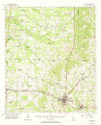
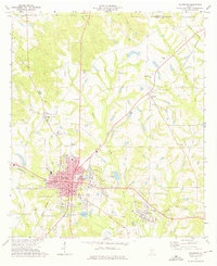
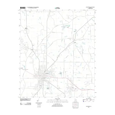
Historical Maps of Sylvester Through Time
7 maps found
Featured Locations
Source Details
SourceU.S. Geological Survey
CopyrightPublic Domain