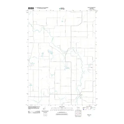
2010 Map of Symco
USGS Topo · Published 2010About this map
The Little Wolf River meanders through this section of Waupaca County, anchoring the settlement of Symco. This landscape is defined by its glacial hydrology, featuring a dense network of water bodies including School Section Lake, Michael Lake, and Blue Mountain Lake. The river's path is marked by features like Little Falls and is joined by numerous tributaries such as Whitcomb Creek and Beaver Creek.
Find a feature on this map
40 named features on this map. Tap any name to fly to it.
Don’t see what you’re looking for? This feature index may not catch every label — zoom into the map to look around manually.
Map Details
Editions of this 2010 Symco Map
This is the sole edition of this map. No revisions or reprints were ever made.
Other maps of this area
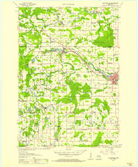
1955 · Clintonville
USGS Topo · 1:48,000
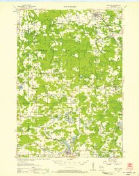
1955 · Tigerton
USGS Topo · 1:48,000

1955 · Green Bay
USGS Topo · 1:250,000
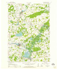
1956 · Weyauwega
USGS Topo · 1:48,000
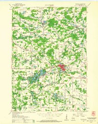
1957 · Waupaca
USGS Topo · 1:48,000
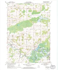
1969 · Northport
USGS Topo · 1:24,000
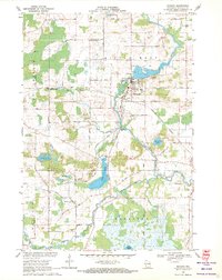
1969 · Manawa
USGS Topo · 1:24,000
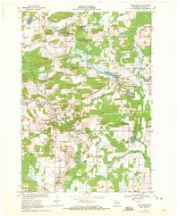
1969 · Ogdensburg
USGS Topo · 1:24,000
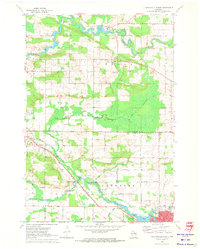
1970 · Clintonville North
USGS Topo · 1:24,000
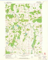
1970 · Symco
USGS Topo · 1:24,000