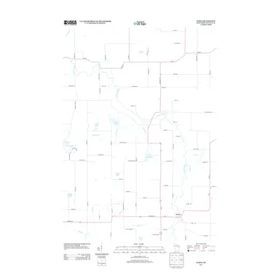
2013 Map of Symco
USGS Topo · Published 2013About this map
The Little Wolf River meanders through the heart of this central Wisconsin landscape, defining the character of the Symco settlement. This 2013 survey reveals a glacial terrain densely populated with named water bodies, including Michael Lake, Cedar Lake, and the adjacent Twin Lake. The presence of School Section Lake points to the early American system of land allocation for public education, a detail often sought by local historians tracing the origins of regional development.
Find a feature on this map
73 named features on this map. Tap any name to fly to it.
Don’t see what you’re looking for? This feature index may not catch every label — zoom into the map to look around manually.
Map Details
Editions of this 2013 Symco Map
This is the sole edition of this map. No revisions or reprints were ever made.
Other maps of this area

1955 · Clintonville
USGS Topo · 1:48,000

1955 · Tigerton
USGS Topo · 1:48,000

1955 · Green Bay
USGS Topo · 1:250,000

1956 · Weyauwega
USGS Topo · 1:48,000

1957 · Waupaca
USGS Topo · 1:48,000

1969 · Northport
USGS Topo · 1:24,000
1969 · Manawa
USGS Topo · 1:24,000
1969 · Ogdensburg
USGS Topo · 1:24,000

1970 · Clintonville North
USGS Topo · 1:24,000
1970 · Symco
USGS Topo · 1:24,000