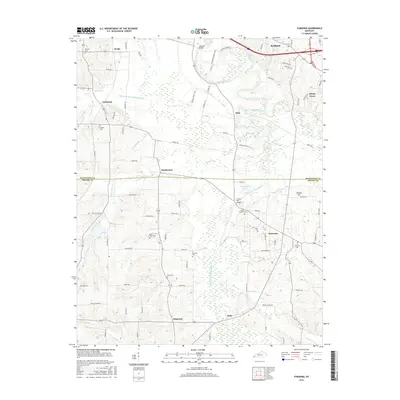
2016 Map of Symsonia
USGS Topo · Published 2016About this map
Symsonia and the southern reaches of Reidland anchor this survey of the Western Coal Field region as it appeared in the mid-2010s. The landscape is defined by the hydrologic network of the Clarks River and its major tributary, the West Fork Clarks River, which creates a complex pattern of wetlands and floodplains. To the northwest, the Blizzard Ponds Drainage Canal indicates the engineered efforts to manage water across the lower elevations near Krebs. Small rural settlements like Hardmoney, Dogwood, and Kaler are dispersed along the road network, which straddles the boundary between McCracken and Graves Counties. Genealogists will find several family and community burial sites, including Switzer Cem, Thompson Cem, and McClure Cem, often located on higher ground overlooking the creek valleys such as Hodge Cr and Camp Cr.
Find a feature on this map
106 named features on this map. Tap any name to fly to it.
Don’t see what you’re looking for? This feature index may not catch every label — zoom into the map to look around manually.
Map Details
Editions of this 2016 Symsonia Map
This is the sole edition of this map. No revisions or reprints were ever made.
Other maps of this area

1926 · Paducah
USGS Topo · 1:62,500

1929 · Smithland
USGS Topo · 1:62,500

1929 · Paducah
USGS Topo · 1:62,500

1936 · Melber
USGS Topo · 1:24,000

1936 · Paducah
USGS Topo · 1:24,000

1936 · Oak Level
USGS Topo · 1:24,000

1936 · Elva
USGS Topo · 1:24,000

1936 · Smithland
USGS Topo · 1:48,000

1936 · Symsonia
USGS Topo · 1:24,000

1936 · Benton
USGS Topo · 1:48,000