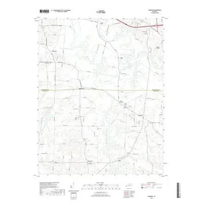
2019 Map of Symsonia
USGS Topo · Published 2019About this map
Clarks River and its major tributary, the West Fork Clarks River, dominate the drainage patterns across this portion of western Kentucky. The landscape is defined by the winding paths of these waterways and several smaller creeks like Camp Cr and Bear Cr, which sustain a network of wetlands and drainage features including the Blizzard Ponds Drainage Canal. The settlement of Symsonia serves as a local hub at the intersection of several county roads, while smaller named locales such as Hardmoney, Freemont, and Oaks are scattered across the surrounding agricultural and creek-bottom lands.
Find a feature on this map
108 named features on this map. Tap any name to fly to it.
Don’t see what you’re looking for? This feature index may not catch every label — zoom into the map to look around manually.
Map Details
Editions of this 2019 Symsonia Map
This is the sole edition of this map. No revisions or reprints were ever made.
Other maps of this area

1926 · Paducah
USGS Topo · 1:62,500

1929 · Smithland
USGS Topo · 1:62,500

1929 · Paducah
USGS Topo · 1:62,500

1936 · Melber
USGS Topo · 1:24,000

1936 · Paducah
USGS Topo · 1:24,000

1936 · Oak Level
USGS Topo · 1:24,000

1936 · Elva
USGS Topo · 1:24,000

1936 · Smithland
USGS Topo · 1:48,000

1936 · Symsonia
USGS Topo · 1:24,000

1936 · Benton
USGS Topo · 1:48,000