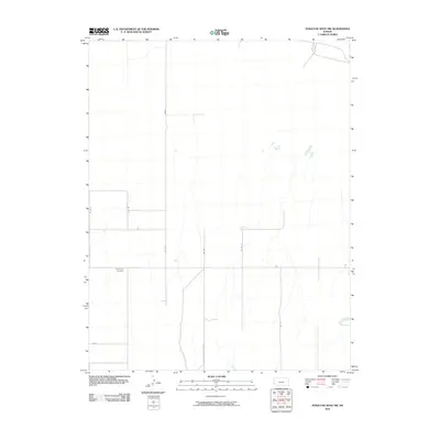
2010 Map of Syracuse West NW
USGS Topo · Published 2010About this map
Sunnyvale Cemetery is the primary landmark in this rural expanse of Hamilton County, providing a critical point of reference for genealogists and local historians tracking family roots in the region. The landscape is defined by the strict geometry of a section-line road network, including Road E, Co Rd F, and Co Rd G, which guide movement through the agricultural terrain. Intersecting routes like Co Rd C and Co Rd D further illustrate the traditional land division of Western Kansas. Subtle drainage patterns and ephemeral water features cut through the grid, showing the natural hydrology that local farmers and ranchers have worked around for generations. This survey documents the intersection of human boundary lines and the high plains environment in the early twenty-first century.
Find a feature on this map
9 named features on this map. Tap any name to fly to it.
Don’t see what you’re looking for? This feature index may not catch every label — zoom into the map to look around manually.
Map Details
Editions of this 2010 Syracuse West NW Map
This is the sole edition of this map. No revisions or reprints were ever made.
Other maps of this area

1890 · Granada
USGS Topo · 1:125,000

1891 · Albany
USGS Topo · 1:125,000

1892 · Granada
USGS Topo · 1:125,000

1893 · Albany
USGS Topo · 1:125,000

1894 · Granada
USGS Topo · 1:125,000

1900 · Syracuse
USGS Topo · 1:125,000

1920 · Syracuse
USGS Topo · 1:125,000

1953 · Holly East
USGS Topo · 1:24,000

1954 · Lamar
USGS Topo · 1:250,000

1955 · La Junta
USGS Topo · 1:250,000