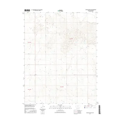
2015 Map of Syracuse West NW
USGS Topo · Published 2015About this map
Sunnyvale Cem sits as a lonely landmark within the agricultural and prairie expanses of Hamilton County. This western Kansas landscape is strictly organized by a grid of section lines and county roads, including Co Rd 23, Co Rd 24, and Rd 25. The terrain is characterized by subtle elevation shifts and intermittent drainage patterns that underscore the dry-land farming environment. This modern survey reflects the enduring Public Land Survey System divisions, with the boundaries of t24s r43w and t24s r42w meeting north of the township line. The map captures a moment of contemporary rural life where the infrastructure is primarily dedicated to ranching and local transit between large land holdings.
Find a feature on this map
10 named features on this map. Tap any name to fly to it.
Don’t see what you’re looking for? This feature index may not catch every label — zoom into the map to look around manually.
Map Details
Editions of this 2015 Syracuse West NW Map
This is the sole edition of this map. No revisions or reprints were ever made.
Other maps of this area

1890 · Granada
USGS Topo · 1:125,000

1891 · Albany
USGS Topo · 1:125,000

1892 · Granada
USGS Topo · 1:125,000

1893 · Albany
USGS Topo · 1:125,000

1894 · Granada
USGS Topo · 1:125,000

1900 · Syracuse
USGS Topo · 1:125,000

1920 · Syracuse
USGS Topo · 1:125,000

1953 · Holly East
USGS Topo · 1:24,000

1954 · Lamar
USGS Topo · 1:250,000

1955 · La Junta
USGS Topo · 1:250,000