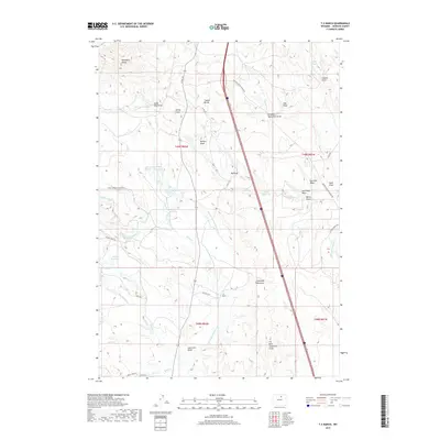
2017 Map of T A Ranch
USGS Topo · Published 2017About this map
T A Ranch serves as a primary geographic anchor in this section of Johnson County, where the high plains meet a sophisticated network of early 21st-century irrigation. The landscape is defined by the strategic movement of water across the Tisdale Divide, utilizing man-made features like the Watkins Ditch, Twenty and One Half Ditch, and the Fort Collins Canal. These engineered waterways, alongside reservoirs such as Kelly Reservoir and Gerkin Reservoir, illustrate the enduring ranching economy of the region.
Find a feature on this map
47 named features on this map. Tap any name to fly to it.
Don’t see what you’re looking for? This feature index may not catch every label — zoom into the map to look around manually.
Map Details
Editions of this 2017 T A Ranch Map
This is the sole edition of this map. No revisions or reprints were ever made.
Other maps of this area
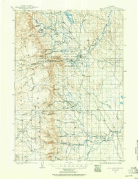
1900 · Fort McKinney
USGS Topo · 1:125,000
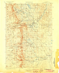
1903 · Fort McKinney
USGS Topo · 1:125,000

1955 · Sheridan
USGS Topo · 1:250,000

1958 · Sheridan
USGS Topo · 1:250,000

1962 · Sheridan
USGS Topo · 1:250,000
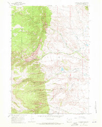
1967 · Klondike Ranch
USGS Topo · 1:24,000
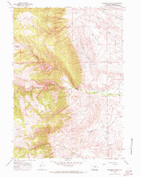
1967 · Robinson Canyon
USGS Topo · 1:24,000
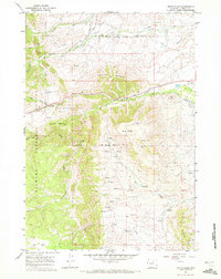
1967 · North Ridge
USGS Topo · 1:24,000
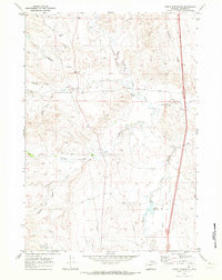
1970 · Purdy Reservoir
USGS Topo · 1:24,000
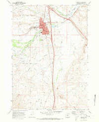
1970 · Buffalo
USGS Topo · 1:24,000