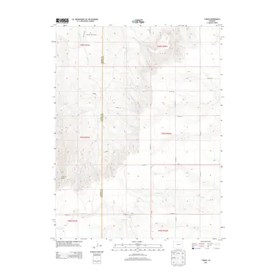
2013 Map of T Draw
USGS Topo · Published 2013About this map
The Arikaree River carves through this high plains landscape along the border of Elbert and Lincoln counties, where a network of county roads organizes the agricultural terrain. In the northern reaches, the Metrogro Farm Airport serves as a localized aviation hub for the surrounding ranching operations. The topography is defined by significant drainage systems and eroded features like T Draw and the more dramatic Devil Canyon to the southwest. These landforms indicate the slow but persistent hydrological action on the plains, leading into tributaries such as Middlemist Cr and Vega Cr. The presence of Co-71 and various established routes like Middle Mist Rd reflects the rural infrastructure connecting these isolated homesteads and farmland plots in the early 21st century.
Find a feature on this map
24 named features on this map. Tap any name to fly to it.
Don’t see what you’re looking for? This feature index may not catch every label — zoom into the map to look around manually.
Map Details
Editions of this 2013 T Draw Map
This is the sole edition of this map. No revisions or reprints were ever made.
Other maps of this area
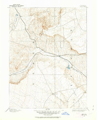
1891 · Limon
USGS Topo · 1:125,000
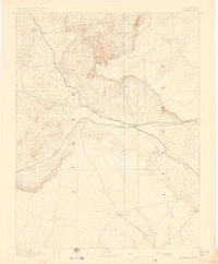
1892 · Limon
USGS Topo · 1:125,000

1954 · Limon
USGS Topo · 1:250,000

1957 · Limon
USGS Topo · 1:250,000

1958 · Limon
USGS Topo · 1:250,000
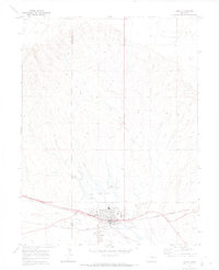
1970 · Limon
USGS Topo · 1:24,000
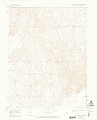
1970 · Barking Dog Spring
USGS Topo · 1:24,000
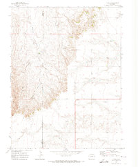
1970 · T Draw
USGS Topo · 1:24,000
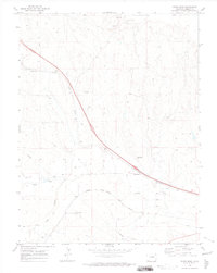
1970 · River Bend
USGS Topo · 1:24,000
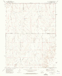
1973 · Last Chance SW
USGS Topo · 1:24,000