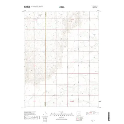
2019 Map of T Draw
USGS Topo · Published 2019About this map
The Arikaree River and its tributary Middlemist Cr carve through the high plains of the Elbert and Lincoln County border. This 2019 survey documents a landscape defined by sharp topographical changes, including the deeply incised Devil Canyon and the namesake T Draw. The region is primarily characterized by its drainage network, with the headwaters of Vega Cr also appearing in the northern reaches. Infrastructure is focused around a grid of rural county roads, such as Co RD 21 and Co RD 3t, which connect scattered agricultural interests. The Metrogro Farm Airport stands as the primary modern landmark, indicating the importance of aviation in managing large-scale farming operations across these vast eastern Colorado sections.
Find a feature on this map
23 named features on this map. Tap any name to fly to it.
Don’t see what you’re looking for? This feature index may not catch every label — zoom into the map to look around manually.
Map Details
Editions of this 2019 T Draw Map
This is the sole edition of this map. No revisions or reprints were ever made.
Other maps of this area
1891 · Limon
USGS Topo · 1:125,000
1892 · Limon
USGS Topo · 1:125,000

1954 · Limon
USGS Topo · 1:250,000

1957 · Limon
USGS Topo · 1:250,000

1958 · Limon
USGS Topo · 1:250,000
1970 · Limon
USGS Topo · 1:24,000
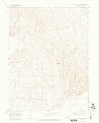
1970 · Barking Dog Spring
USGS Topo · 1:24,000
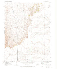
1970 · T Draw
USGS Topo · 1:24,000
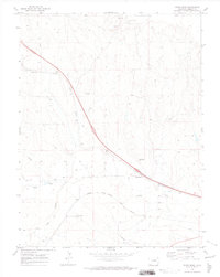
1970 · River Bend
USGS Topo · 1:24,000
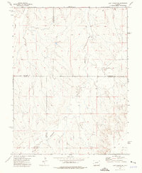
1973 · Last Chance SW
USGS Topo · 1:24,000