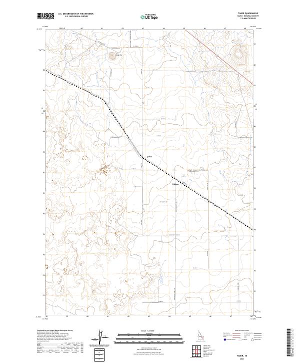
2023 Map of Taber
USGS Topo · Published 2023About this map
The high desert landscape of Bingham County is defined by a rigid grid of agricultural roads and isolated outposts in this 2023 survey. Taber and Fullmer serve as the primary focal points of the region, situated along the diagonal path of Taber Rd as it cuts across the township and range boundaries. The area is characterized by large-scale land management, evidenced by names like Frontier Farms Rd and an extensive network of north-south and east-west corridors such as Springfield Taber Rd and N 2000 W. A lone Cinder Pit in the northern portion of the quadrangle highlights the local geology and resource extraction within this arid expanse. Transportation is anchored by US Highway 26 in the northeast corner, providing the main artery through this sparsely settled agricultural territory.
Find a feature on this map
30 named features on this map. Tap any name to fly to it.
Don’t see what you’re looking for? This feature index may not catch every label — zoom into the map to look around manually.
Map Details
Editions of this 2023 Taber Map
This is the sole edition of this map. No revisions or reprints were ever made.
Other maps of this area

1955 · Springfield NW
USGS Topo · 1:24,000

1955 · Rockford
USGS Topo · 1:24,000

1955 · Idaho Falls
USGS Topo · 1:250,000

1958 · Idaho Falls
USGS Topo · 1:250,000

1973 · Olsen
USGS Topo · 1:24,000

1973 · Middle Butte
USGS Topo · 1:24,000

1973 · Taber
USGS Topo · 1:24,000

1973 · Atomic City
USGS Topo · 1:24,000

1973 · Lava Lake Reservoir
USGS Topo · 1:24,000

1973 · Coffee Point NE
USGS Topo · 1:24,000