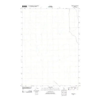
2010 Map of Taber NE
USGS Topo · Published 2010About this map
Intermittent drainage networks define the terrain of this Bonneville County expanse, where a complex web of seasonal watercourses flows toward the southern basin. Human activity is sparse, marked primarily by the primitive road system that navigates this high-desert environment. On the eastern edge, 20 Mile Rock Rd serves as the primary corridor for north-south movement, tracing a path through the open land. To the southwest, Hilltop Rd makes a brief appearance before exiting the frame, indicating the quiet, utilitarian nature of the landscape at this time. This 2010 topographic record captures a moment of minimal development, documenting the essential drainage patterns and access routes used by those managing the local rangeland.
Find a feature on this map
2 named features on this map. Tap any name to fly to it.
Don’t see what you’re looking for? This feature index may not catch every label — zoom into the map to look around manually.
Map Details
Editions of this 2010 Taber NE Map
This is the sole edition of this map. No revisions or reprints were ever made.
Other maps of this area

1955 · Baldy Knoll
USGS Topo · 1:24,000

1955 · Idaho Falls
USGS Topo · 1:250,000

1958 · Idaho Falls
USGS Topo · 1:250,000

1964 · Kettle Butte SW
USGS Topo · 1:24,000

1973 · Olsen
USGS Topo · 1:24,000

1973 · Middle Butte
USGS Topo · 1:24,000

1973 · Taber
USGS Topo · 1:24,000

1973 · Little Butte SW
USGS Topo · 1:24,000

1973 · Little Butte
USGS Topo · 1:24,000

1973 · Taber NE
USGS Topo · 1:24,000